Click here to read our marine edition.
One of the most common questions asked by volunteers before their expedition is “what surveys will I be doing?”. Whether you are asking because you want to build your hands on experience of a specific method, knowledge surveying certain taxa, or just because you would like to know what you’ll be doing, then look below for a quick guide.
Helpfully – for you reading this and me writing it – all Opwall sites follow similar methodologies and survey the same taxa. Why? This consistency means we can compare our sites year-on-year both spatially and temporally, and the best way to do that is to have reproducible methods. We also use common methods that you are likely to use in other volunteering roles, or in your day-job if you wish to become ecologists just like us. So, let’s go through a quick round-up of the main surveys you will be helping us do whether you’re heading to Madagascar, Mexico, Honduras, South Africa, Croatia, Indonesia or the Knepp Estate!
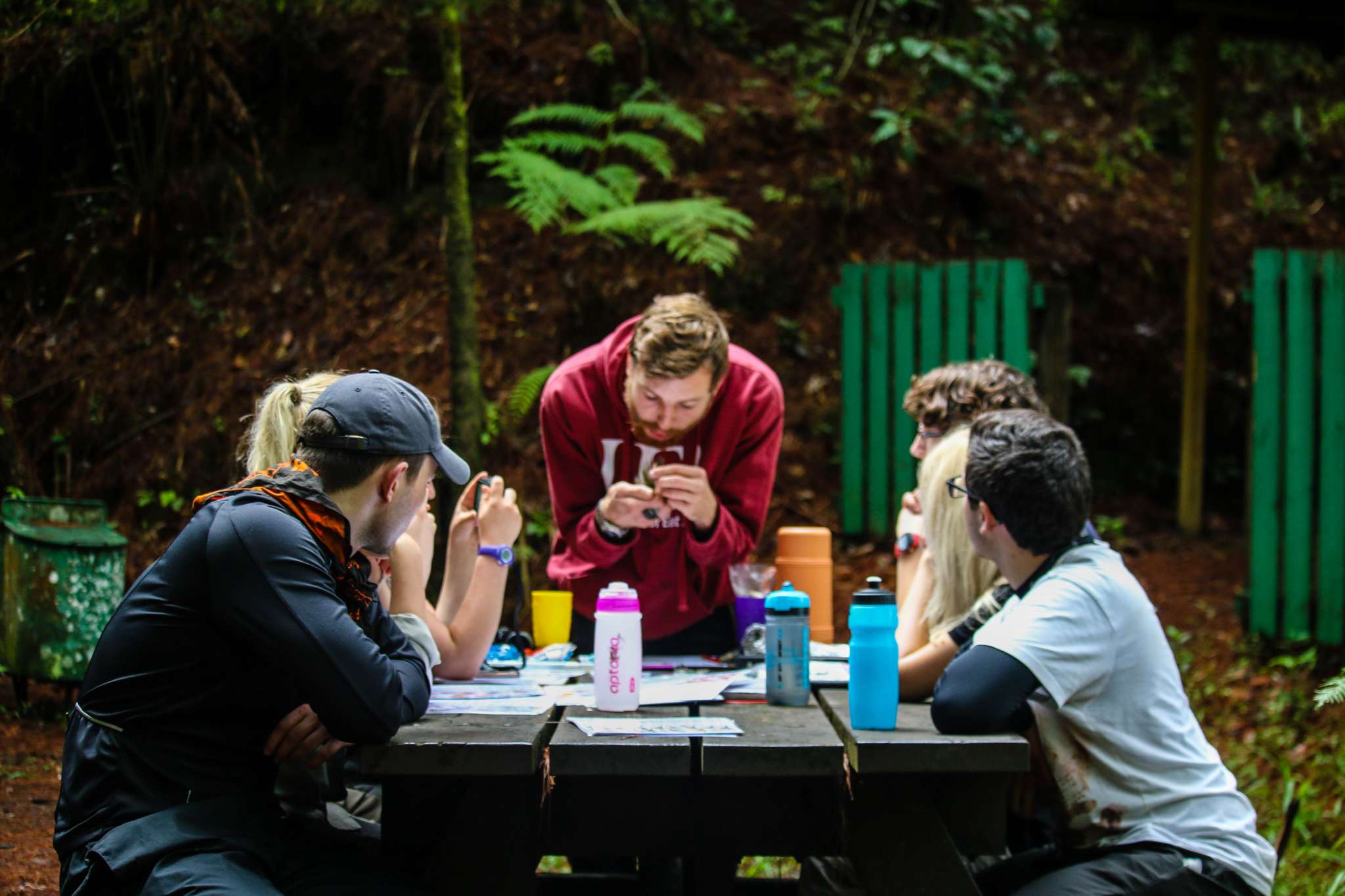
Photo by Kathleen Farley
Method: Mist netting bats
Countries: Croatia, Honduras, Mexico, Indonesia, (UK expeditions do a bat walk)
Bats typically use our transects as flight paths so you will help set up the mist nets running perpendicular to the transect. When a bat flies into the net, the chiropterologists will handle them (as they are trained and licensed) and you will help identify the species and take measurements such as weight and wingspan. Most of the bats we sample are frugivorous or nectivorous as insectivorous bats can use echolocation to easily avoid the nets. Some of our sites also record bat vocalisations and use a library to identify species presence (e.g., Mexico and Honduras).
Method: Tracks and signs / distance sampling
Countries: Croatia, Honduras, Mexico, Indonesia, South Africa, UK
For large mammals we survey for presence using tracks and signs (which is great for shy forest mammals!). This involves slowly walking our transects each morning and looking out for prints, scats, or eaten/broken vegetation. At some sites you can see the large mammals (i.e., in South Africa and Mexico) and there distance sampling will be used. All our sites (including Madagascar) use camera traps too!

Photo by Jalal Khan
Method: Line transects and point counts
Countries: All
With these surveys you will walk along a transect and at set intervals stop for a certain period (for example in Indonesia, you will stop every 300m for 10 minutes) and record every bird seen or heard in that time. Then you move to the next point. The teams try and survey each transect at least once per week and usually birding starts at dawn (this was 5am in Honduras…it’s worth it, I promise).
Method: Mist netting and bird ringing
Countries: Croatia, Honduras, Madagascar, Mexico, UK
As birds usually cross our transects rather than following them, the mist net needs to run parallel to the transect. When a bird gets caught, the ornithologist will retrieve it and you will help in collecting the all-important biological data such as identification, weight, and wingspan.

Photo by Jalal Khan
Method: Transects and spotlighting
Countries: Croatia, Honduras, Mexico, Indonesia, Madagascar, UK
The main method we use is to simply walk the transects and record any reptiles or amphibians seen. This can be done day or night (usually both). The night surveys typically have better amphibian sightings as they are often along streams (i.e., Honduras and Indonesia). It is a great opportunity to see frogs and snakes. Where possible the herps seen are captured by the herpetologists and you can help to identify and take biological measurements.
Countries: All countries
There are two main reasons we survey the different habitats at each of our sites. The first is to determine the type of habitats we have and the overall health of the forest. The second is that each time an animal is recorded in our other surveys it is then linked to the closest habitat site so we can determine (through some statistics) which habitats are preferred by each species.
Each site has a number of habitat plots which need to be sampled across the course of the season. At each 20m x 20m plot you will measure the diameter at breast height (DBH) of the trees and take measurements of forest structure, such as counting the number of saplings and calculating the percentage canopy cover. The habitat surveys are really fun, and you often see a lot of animals whilst rummaging around off-transect.
Method: Butterfly surveys
Countries: Croatia, Mexico, Madagascar, Indonesia, UK
One method we use is baited traps in habitat plots (set out in the morning, checked, and closed in the afternoon). In Mexico, the aim is to attract frugivorous butterflies, so we bait the traps with fruit or fruit pastes. In Indonesia, the butterflies are surveyed using pollard walks, a combination of line transects and point counts. The transects are walked at a steady pace and all butterflies seen are identified and recorded visually (they will only be captured in nets if this is not possible). You will also stop every 100m to do a 10-minute point count, recording all butterflies within a 10m radius.

Photo by Jalal Khan
Hopefully this has given you a taste of the main survey methods we use at each of our sites. Of course each site will differ slightly to adapt to every changing environments and there are ‘bonus’ surveys at each of our sites too as some species are of particular interest (i.e., fungi surveys in Honduras). Whichever site you choose to go to you will learn these main ecological sampling methods and more, giving you vital fieldwork experience for the future.


© 2026 Operation Wallacea Ltd. Website by Yello Media.
Social Media Links